Destinations
Achit Lake
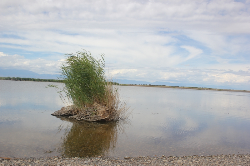
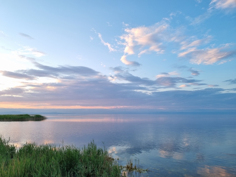
Achit lake is one of the largest lakes in Mongolia. Achit Lake is surrounded by Kharkhiraa and Turgen mountains at an altitude of 1464m. The Lake covers an area of 311 km². It offers stuning sunets and sunrises and good fishing. This is the largest freshwater lake in the province. Ultimately through the Usankhooil river, the stream flows into the Hovd River. The lake is home to flocks of geese, eagles and many other birdlife.
Altai Tavan Bogd
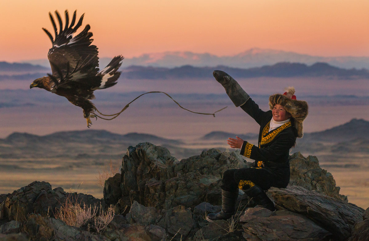
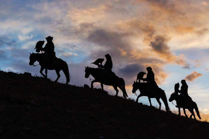
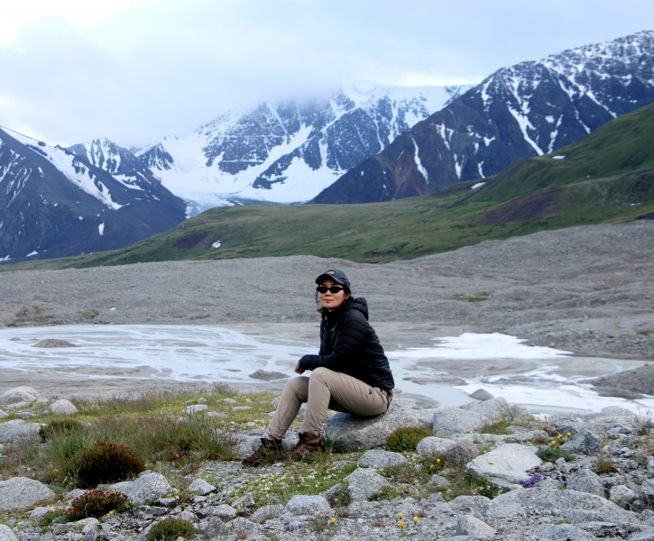
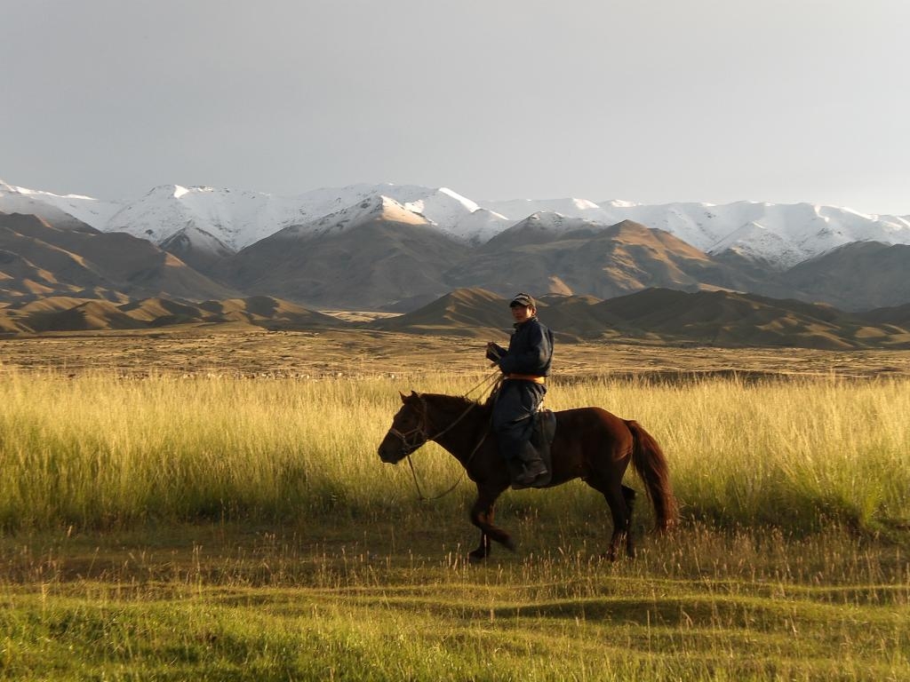
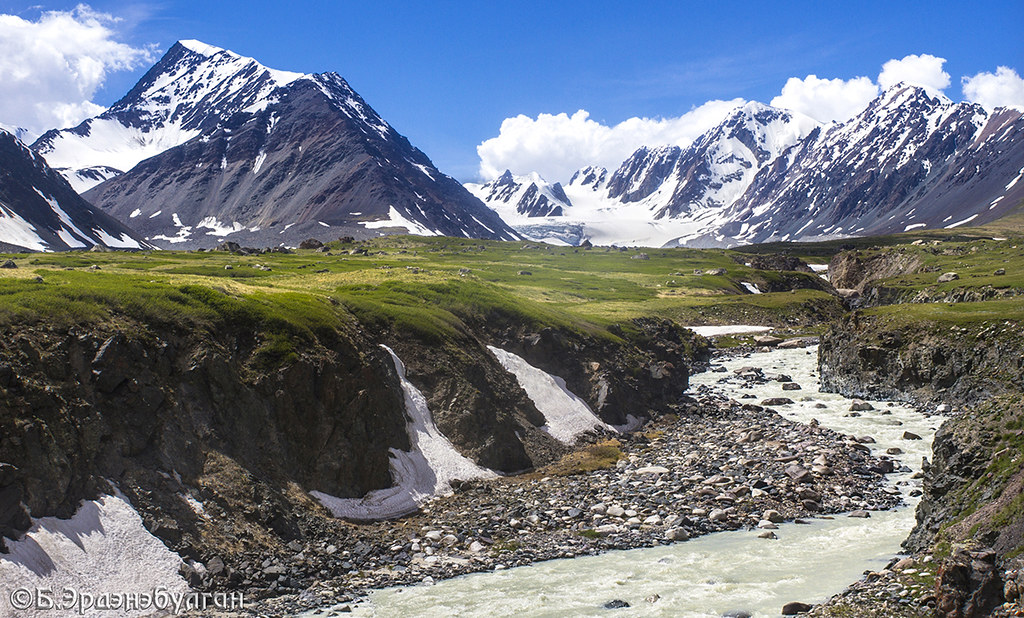
Tavan Bogd (five saints) is a soaring cluster of mountains that straddles the border between Mongolia, Russia and China. The range includes Khuiten(Cold peak), Naran(Sun), Olgii(Land), Burged(Eagle) and Nairamdal(Friendship) and Uuls(Mountains). The stunning region stretches south from Tavan Bogd and includes the twin lakes of Khoton Nuur and Khurgan Nuur (and the less interesting Dayan Nuur), which are the source of the Khovd river that flows to Khar Us lake in Khovd province. Despite its remote location, the park and its beautiful scenery make it the premier attraction in western Mongolia. Divided from China by a high wall of snow-capped peaks, the area is a trekker’s paradise. Altai Tavan Bogd is the biggest national park and it occupies 636,161 hectares of pristine landscape along the border of the western part of Altai sums of Bayan-Ulgii province where Kazakhs (5% of Mongolian population) live. One of their interesting activities is they use golden eagle and falcons for their hunting. During winter months they take their Golden Eagles out to hunt for small animals for fur and meat. This is an old tradition, which is celebrated as festival of horsemanship, hunting skills and knowledge. The highest peak of Mongol Altai is Khuiten Peak of Tavan-Bogd range, with the absolute height of 4653 m above sea level. For sheer beauty it is in no way inferior to that of Matter horn of Switzerland. Sharp-edged rocky ridges of Altai, with eternal snow-caps, attaining an average height of over 3000 m, are full of deep gorges through which foaming streams of glacier-fed mountain rivers dash down. Snow-covered peaks soar into the cloudless sky and the frozen glaciers glitter in the sun's rays the Tavan-Bogd range and peaks dimmed with a light-gray cloak of snow particles rise up into the sky. This place protected by government in 1996 by parliament resolution No.43. The national park with its amazing beauty embodies the special characteristics of high mountains, icy crystal rivers, mountain valleys, steppe landscapes and ecosystems. Also, it is a habitual a blast refuge for mammals like argali, ibex and deer, and bird species like eagle and lammergeyer. There are exceptional and largely unexplored area, within the peaks and valleys of Mongol Altai Mountain Range.
Gurval Tsenkher Cave
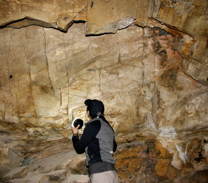
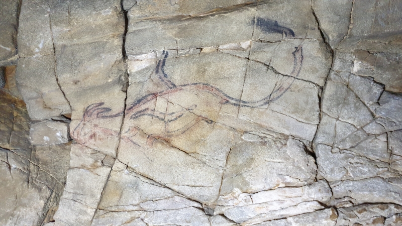
This site is located in Mankhan county of Khovd province. Related to the upper Paleolithic period, the rock art found in Khoit Tsenkher Cave includes symbols and animal forms painted from the walls up to the ceiling. In one of corners of the cave measuring 2.5 m high and 1.5-2.0 m deep, numerous symbols and animals were painted overlapping each other on the ceiling and wall. A quiet standing stag was portrayed clearly among the animals. Also a standing buffalo with horus looking ahead was represented separately. In another corner of the cave, many animals including oxes, ibexes, elephants, ostriches were pictured, overlapping each other. On its wall in a cave hollow measuring 10 m long and 8 m wide a camel with two humps was portrayed. Also many symbols and trees were painted at the height of 2.0-2.5 m not far from the wall, where the camel was portrayed. Lions, elephants, argali sheep, ibexes, ostriches, antelopes, camels, as well as symbols were painted with mineral-based paints of rosy and brown colours on the walls deep inside the cave. By the method of painting of different kinds of animals, their colour and view, the Khoit Tsenkher cave rock paintings show their original artistic, cultural and historical features which are different from the other rock paintings in Mongolia and her neighbouring countries. Some particular parts of the animals such as their horns, necks, humbs are depicted with an exaggerated hyper-realism typical of the Palaeolothic period. This site was added to the UNESCO World Heritage Tentative List on August 1, 1996 in the Cultural category.
Kharkhiraa Turgen Mountain
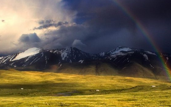
Stretching from Black water Lake and Hovd river of Hovd Province to northern border of the country, these legendary and mythical mountains that dominate western Mongolia are called the twin peaks of Kharkhiraa and Turgen Mountain. Standing at an altitude of 4116m above sea level, one can see Kharkhiraa shining from a far. Turgen Mountain at an altitude of 3917 above sea level is a snow-crested mountain and has very beautiful scenery. These mountains further extend to the south continuing at around 2000-3000m. The beautiful Altain Kukhii Mountain consisting of the mountains Yol and Khargait Buural on the west of Hovd River, join the Tsogt and Khalzakhairkhan Mountain. The area around these mountains is listed in the strictly protected area list. There are wild mountain sheep, wild goats, marmots and snow cock, white spoonbill and bustards living in the area around the Mountains.
Khyargas Lake
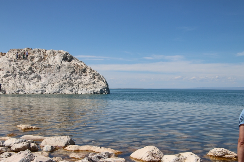
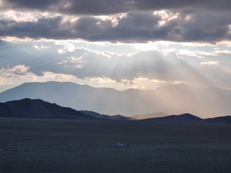
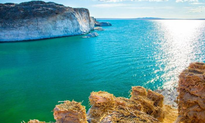
Khyargas Nuur National Park based on the salt lake amid desert and scrub grass, provides an attractive summer home for birds but sees little tourist traffic. The salt water lake, stretching from west to east, is 75 kilometers long and 31 kilometers wide. On the northwestern side of Khyargas Nuur there is cold spring that dribbles out of the mountain – locals say drinking from it has health benefits. The main attraction of the lake is over the other side, though. Khetsuu Khad is an enormous rock sticking out of the water that attracts migratory cormorant birds. The birds arrive in April and hatch their young in large nests built on the rock. The aura created by the white cliffs, shrill birds and the prevailing smell of guono makes you feel as if you’ve arrived at the ocean. Several special of fish including the rare Mongolian grayling lives in Hyargas lake.
Uvs Lake
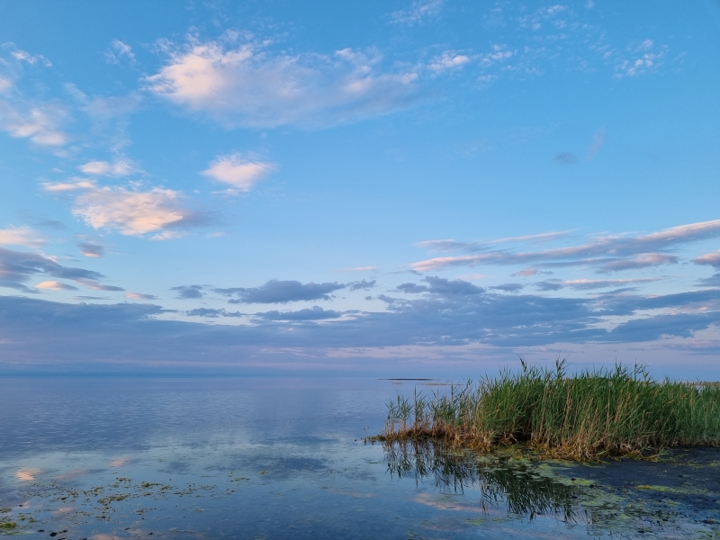
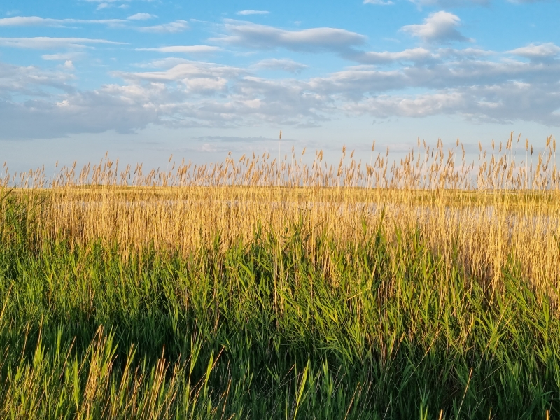
The lake is a gigantic island sea in the middle of the dessert. The lake’s surface occupies 3423sq km, making it Mongolia’s largest lake, though it’s very shallow at an average depth of 12m. (Still, the legend has it that the lake is bottomless.) The shallow lake lies near the north frontier of the country where it Uvs aimag borders with Russia, in the Depression of Great Lakes. The Uvs lake lying in desert and desert steppe at an altitude of 760 meters above sea level is surrounded by large marshes in the north and the world’s northernmost sand dunes of Altan Els (Golden sands) in the eastern shore. The lake is five times saltier than the ocean and devoidof edible fish. The unique nature contrast of the Uvs lake area creates spectacular scenery and habitat for a wide range of animals and plants. Wolf, fox, snow leopard, lynx, mountain weasel, steppe polecat, wild boar, musk deer, elk, roe deer, ibex, argali mountain sheep, Mongolian and black-tailed gazelle from rich wildlife of the Uvs lake area. Ornithologists have documented more than 200 birds species around Uvs Nuur Strictly Protected Area including cranes, spoonbills, geese and eagles, as well as gulls that fly thousands of kilometers from the southern coast of China to spend a brief summer in Mongolia.
Otgontenger Mountain
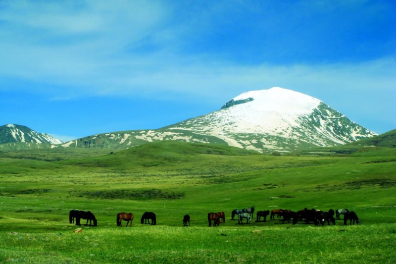
One of the most sacred mountains, Otgon Tenger Uul(3905m), towering at 4,021 meters above sea level, stands on the western edge of Hangai Mountain range and this is the highest peak of the range 60km east of Uliastai is the spiritual adobe of the gods and an important place of pilgrimage for many Mongolians. The mountain is the highest peak in the Khangai Nuruu and part of the Otgon Tenger Stricktly Protected Area. The mountain area is great for hiking and horse trekking. Mongolians have worshipped the sacred peak of Otgontenger for generations. Every year, a special religious sacrifice ceremony takes place near the peak of Otgontenger. Badar Hundaga lake that lies on Otgontenger Mountain forms a unique feature of its landscape. Climbing Mt Otgontenger is challenging and the 12,845 foot peak is accessible only to the prepared and devoted climbers.
Zavkhan River and Mongol Els
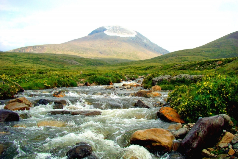
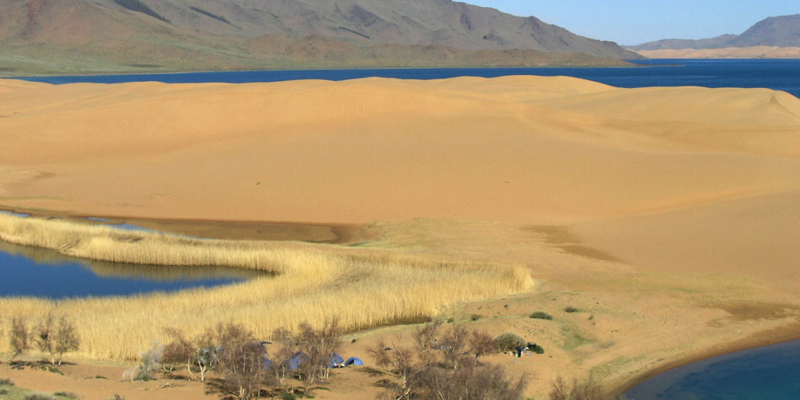
One of the longest rivers of the country, Zavkhan River flows from the western slope of Hangai range. It flows across mountain, steppe and the extensive Mongol Els sand dunes for over 800 kilometers and feeds Airag Lake in the Depression of Great Lakes. Mongol Els, which is one of the largest sand stretches of Mongolia covers an area 2,724 square kilometers. The sand dunes of Mongol Els are relatively vegetated and home to Mongolian and black-tailed gazelles.
Tsagaan Gol River
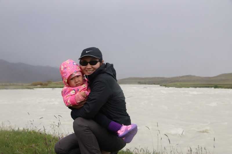
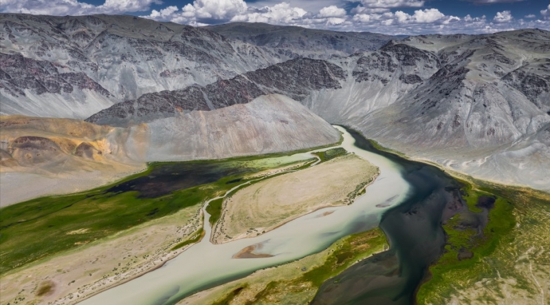
The Tsagan-Gol river flows in Western Mongolia, in the Mongolian Altai and Tavan Bogd National Park, the left and largest tributary of the river Khovd-Gol. The source is in the glaciers Grene, Alexandra and Musen-Gol (Potanin)of the Tavan-Bogd-Ula mountains. The river flows to south through open and wide valey. The river Tsagan-Gol is dependent on snow and glaciers melt. Water levels are highest in June once the ice clears. In summer, when glaciers melts the water color is white like milk, from it and name of the river had (tsagan = white). The lenght of the river 111 km. The gradient in places is more than 25 m/km. The Tsagan-Gol river flows into the river Kobdo-Gol (Hovd-Gol) a bit downstream Tsengel village. The major tributaries: left - Nalii-Gol, Khatugiin-Gol, right - Mudedy-Gol. At the river is many rocks with petroglyphs.
Eagle Hunting
During the communist period in Kazakhstan, many Kazakhs fled for Mongolia, settling in Bayan-Olgii Province and bringing with them their tradition of hunting with eagles. There are an estimated 250 eagle hunters in Bayan-Olgii, which is located in the Altai Mountains of western Mongolian.Their falconry custom involves hunting with golden eagles on horseback, and they primarily hunt red foxes and corsac foxes.They use eagles to hunt foxes and hares during the cold winter months when it is easier to see the gold colored foxes against the snow. Each October, Kazakh eagle hunting customs are displayed at the annual Golden Eagle Festival. Although the Kazakh government has made efforts to lure the practitioners of these Kazakh traditions back to Kazakhstan, most Kazakhs have remained in Mongolia.
